Scaling Networks. Not Headaches.
FieldTrip takes the photo grind off engineering teams. Your drafters and QC leads aren't paid to click through ten thousand frames per route — they're paid to make calls. FieldTrip clears the clicks so they can.

 Katapult
 ClickUp
 Slack
 Teams
 Google
One system, three disciplines — vision, geospatial, drafting.
FieldTrip was built with engineering teams, not pitched at them. Every surface — from the queue to the map — exists because a drafter, a QC reviewer, or a program director asked for it.
Models for everyone. Bespoke for Enterprise.
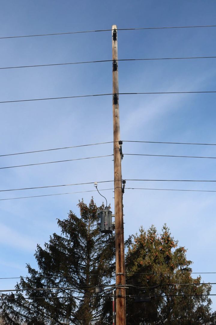
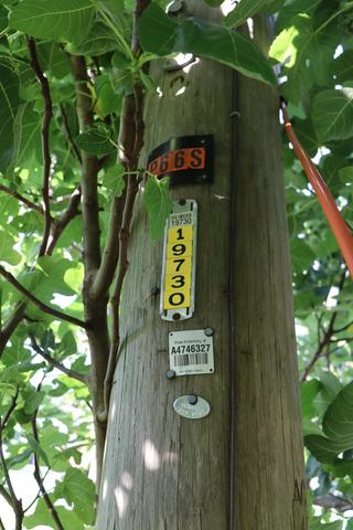
Shared pole detection covers the common hardware — tangents, anchors, guys, attachments — and improves with every release as more engineering teams use it. Enterprise partners get bespoke models trained on their photography alone. Either way, nothing low-confidence ships without a human.
Every pole on the map. Every node in the graph.
Mapbox-backed views of every route. Drop into a job to see stages, flags, and make-ready status inline — no tab-hopping to find the route that's blocked.
Land in your GIS when you say so. Not before.
FieldTrip writes node classes, attributes, and photo links to your GIS — matching your schema, on a signoff. Or run standalone and export when you're ready. Your call.
A personal queue, ranked by priority and age.
Reviewers and drafters open FieldTrip to a ranked list of what's next. No triage. No assignment meetings. No spreadsheets.
Routing → Prefield → Classifying → Final Review → Complete.
Every job moves through a pipeline you define. Stage-level timers, SLAs, owner assignments — so routes don't stall in someone's inbox.
Everything a drafting shop needs. Nothing it doesn't.
Custom-trained vision models
We train on your field photography and your class taxonomy — not a generic pole detector.
Geospatial job view
Mapbox tiles, node + connection graph, per-pole drawer. Every job has a map.
Pipeline stages & SLAs
Define the stages your routes move through, and track time-in-stage per job.
Personal work queue
Reviewers and drafters open FieldTrip to a ranked list of what's next.
Keyboard-first review mode
Letter hotkeys per class, arrow keys for navigation, one hand on the mouse never required.
GIS writeback
Write node classes, attributes, and photo references back to your GIS system.
Confidence thresholds
You set the bar. Below it, photos route to human review. Above it, they ship.
Team & role management
Admins, reviewers, field crews. Per-org permissions, audit trail on every label.
Built alongside the people who survey, draft, and ship.
“Our reviewers clear what used to be a two-day queue before lunch. The keyboard hotkeys alone earn their keep.”
“[FieldTrip] writes classifications straight to our GIS. I haven't touched a CSV in four months.”
“Program directors finally have a map view that reflects what's actually happening in the field — not what was true last Tuesday.”
Questions engineering firms and program directors ask us first.
We train on the photography your teams already capture. If you have archived jobs, that's usually enough for a first production model. We tune with you over the first pilot.
Be first to see FieldTrip on a real job.
We're onboarding a small number of engineering firms at a time. Drop your email and we'll reach out when a pilot slot opens up — usually inside two weeks.
Waitlist temporarily unavailable. Email hello@gofield.net and we'll add you manually.